New land-use plan approved for Suðurlandsvegur widening
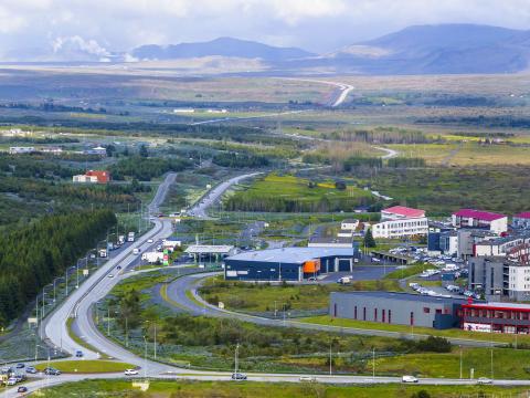
The City Executive Council today approved a joint land-use plan from Reykjavík City and the Icelandic Road and Coastal Administration to widen Suðurlandsvegur from the Bæjarháls intersection to the Mosfellsbær municipal boundary near Hólmsá.
This project will improve traffic safety and reduce congestion on Suðurlandsvegur by separating opposing lanes of traffic. The widening of this section is part of a larger project to expand Suðurlandsvegur from Hádegismóar in Reykjavík to Hveragerði.
Improved safety and traffic flow
The plan calls for developing Suðurlandsvegur into a 2+2 arterial road on the section from Bæjarháls to the Mosfellsbær municipal boundary. Separating opposing traffic lanes will reduce the risk of serious accidents and improve traffic flow. The plan also calls for reducing the number of intersections along this corridor, further improving safety and driver sightlines.
The land-use plan also prioritizes improvements for active transportation. The plan includes a comprehensive pathway system for pedestrians, cyclists, and equestrians, which will improve both safety and accessibility in the area.
The widening of Suðurlandsvegur is a key part of a broader development initiative along one of the capital area's most vital transportation corridors. The full project extends from Reykjavík to Hveragerði, with the long-term goal of improving both safety and capacity along the entire route.