Land-use planning for CityLine well underway
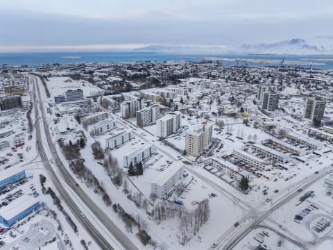
Land-use plans have been approved for about 40% of CityLine's first phase route in Reykjavík, and nearly half the route will soon have fully approved land-use plans. The next plan to be presented covers the Suðurlandsbraut street corridor between Skeiðarvogur and Lágmúli.
The Environment & Planning Council approved publishing the detailed plan proposal for public notice at this morning's meeting and referred it to the City Executive Council. The proposal is expected to be presented in the Urban Planning Portal in January. The public and other interested parties will then have the opportunity to submit comments and suggestions after reviewing the data, which will all be published in the Urban Planning Portal.
Approved land-use plans are essential for construction to begin. Development plans define how the environment will be shaped, where stations will be located and how people will move through the areas. Nine land-use plans incorporating CityLine have already been approved. These cover: Fossvogsbrú Bridge, Nauthólsvík, University of Reykjavík, Nauthólsvegur, the new Landspítali Hospital, Hlemmur, the upper part of Laugavegur and two sections of Ártúnshöfði. The first phase of CityLine, which runs between Ártúnshöfði and Hamraborg via Fossvogur Bridge, covers 12 kilometers in Reykjavík.
Main changes to Suðurlandsbraut
The main changes to Suðurlandsbraut will include:
- Adding dedicated space for public transportation, CityLine lanes, between Skeiðarvogur and Lágmúli, along with three CityLine stations at Glæsibær, Laugardalshöll Arena and Lágmúli.
- Continuous bike and walking paths will be added south of Suðurlandsbraut while existing paths on the north side will remain unchanged. This will significantly improve access for active transportation along the street.
- Traffic lanes for general vehicle traffic will mostly be single lanes, except at major intersections.
- The area's green character will be enhanced with designated areas for vegetation and above-ground stormwater solutions.
- Vehicle access and the parking layout at Suðurlandsbraut 4-32 will be modified.
Due to the planned changes, the number of parking spaces in front of buildings in this area along Suðurlandsbraut will decrease by around 30%. The repurposed spaces are all on municipal land. Additionally, there are spaces that belong to the lots behind houses, and there are also unused provisions in the land-use plan for parking garages behind buildings in this area.
Construction on Suðurlandsbraut west of Grensásvegur is scheduled for 2027 to 2029 and east of Grensásvegur from 2028 to 2030. The goal of CityLine is to create a major new artery for green transportation that connects neighborhoods and municipalities in an efficient, safe and environmentally friendly way.
The land-use plan proposal is part of CityLine's first phase and aligns with the goals and policies of the national planning policy, the regional plan for the capital area 2040, the Reykjavík municipal plan 2040 and the framework section of the Reykjavík municipal plan 2040 - CityLine first phase: Ártún - Fossvogsbrú Bridge.