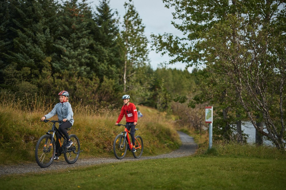
Heiðmörk to remain accessible outdoor recreation area while protecting water resources
Zoning Environment
Over the past few months, Reykjavík City has worked to develop a new land-use plan for Heiðmörk in collaboration with Veitur Utilities, the Reykjavík Forestry Association, Reykjavík Energy and Reykjavík Public Health. Reykjavík City's focus is keeping Heiðmörk accessible and diverse as an outdoor recreation area while protecting water resources, since Heiðmörk plays a vital role in the public health of capital area residents.
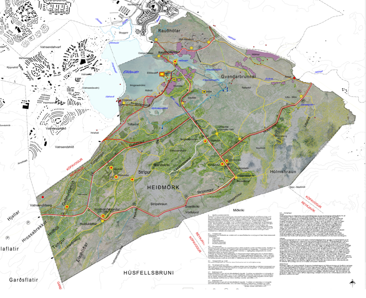
Heiðmörk spans more than 3,000 hectares, including the Rauðhólar area. Heiðmörk has the water collection area for Reykjavík residents and serves as a popular outdoor recreation area in Reykjavík.
Discussion and consultation with service users
The land-use plan area covers about 23.5 square kilometers and is bordered by Suðurlandsvegur to the north, the Bugða river, Elliðavatn lake and Kópavogur municipal boundaries to the west, the old Heiðmörk fence line to the east, and Garðabær municipal boundaries to the south.
Besides Reykjavík, the Heiðmörk area also falls under two other municipalities – Garðabær and Kópavogur – but this land-use plan will only cover Reykjavík's portion of Heiðmörk.
The preparatory work for the land-use plan is led by the Reykjavík Planning Officer, who has held productive discussions with area service users and stakeholders and will continue these conversations throughout the planning process.
Guiding principles and objectives
The guiding principle in creating the land-use plan for Heiðmörk is to ensure the safety and quality of groundwater for the long term while keeping the area available for outdoor recreation in balance with water protection.
One goal of the land-use plan is to reduce vehicle traffic in the water protection buffer area to prevent possible pollution accidents. How these restrictions will be designed and carried out is part of the land-use plan's scope of work. Outdoor recreation starting points need to be clearly defined with detailed information about the area.
It's important to strengthen connections between developed areas and Heiðmörk, emphasizing good links to the public transportation system and sustainable travel options.
Risk assessment underway
Work is underway on a specialized risk assessment to evaluate factors in the area that could potentially cause water pollution. The assessment findings will then be used to develop countermeasures that reduce the risk of pollution in the area.
The planning description for the new land-use plan will be advertised in May, giving the public an opportunity to submit comments and suggestions.